OpenStreetMap hiking maps for GPS
 OpenStreetMap is an international project founded in 2004 for free global mapping. OSM maps are generally (depending on the country) less detailed than the maps from the countries’ cartographic institutes, but unlike the latter, they are distributed under an Open Database License. This means that you can download them and use them free of charge for your GAPs..
There are different renderings of OSM maps, called layers, which highlight some points more than others (contour lines for example). The most suitable layers for hiking are Open Topo Map and Open Cycle Map..
Here are a few useful websites :
- OSM Mapping Online : www.openstreetmap.org
- OSM Maps for Garmin GPS : garmin.openstreetmap.nl (by area selection) and garmin.opentopomap.org (listed by country)
- OSM Maps for TwoNav GPS : www.twonav.com/fr/cartes/openstreetmap
- OSM cards for the OsmAnd apps : download.osmand.net/list.php
OsmAnd is a GPS mapping and navigation application for Android and iOS. It is available in a free version (limited to 10 maps) or a paid version.
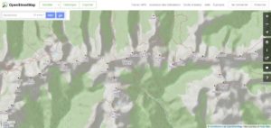
On the Guide Apacheta website, you can view the GPS tracks of each guide on an OpenStreetMap background. Here is an example with the map of the Mountains Făgăraş.
